Wellington, New Zealand
Jan · 61% rideableWellington - Worser Bay
What it's actually like
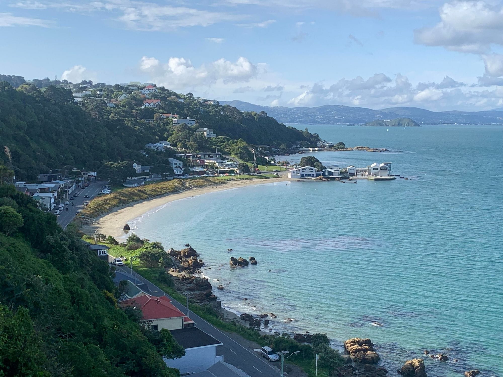
Worser Bay is a sand beach at Seatoun in Wellington, a few minutes’ drive past the airport, beside the entrance to Wellington Harbour. The Worser Bay Boating Club sits on the beach. A local wing location guide calls the bay a great learner spot, with sheltered grass for rigging and parking, and White Cloud Watersports runs its learn-to-wingfoil courses here.
Seatoun village, about 1.1 km by road, has a neighbourhood pub, Little Sprig Seatoun, and a community cafe, Arcimboldi.
The record comes from a 9 km global model with no station check, so at a harbour entrance read it as a guide.
Spotted something out of date? Tell us
Your month
When it's good
12 kt+ for 3+ daylight hours · kite
January · 61%. 19 rideable days in 31, 6.6 hours a day over 12 kt. Come.
Where else it blows in January
Not yet checked against a weather station or an independent model, so treat these figures as a guide.
At a glance
Is it for you?
Geek analysis
January in the record
61% of days clear 12 kt for three daylight hours or more.
In January the wind most often sits at 8 to 11 kt (25% of daylight hours) and is over 12 kt from 12pm to 5pm on at least half the days. See both charts in the full report
No weather station near enough to check these figures against.
January on the record
The month's own figures, not the year's average.
Take it with you
The full Wellington - Worser Bay report
Seven sections over six pages, built from the same record as this page. A PDF you can read on the plane.
When it gets busy
Crowds
The Worser Bay Boating Club races on Saturday afternoons in a season that generally runs from the beginning of September to the end of April, and hosts national dinghy championships from 19 to 24 January and 26 to 30 March 2027. WindChaser has no crowd count for the bay.
On the water
What January usually does
January sits outside the best months here. 61% of days clear 12 kt for three daylight hours or more.
Your playground
Launches & safety
Conditions change. Check local rules and conditions before you ride.
- Launch
- Hazard
- Parking
- School
- Stay
- Webcam
- Approximate
Local intel
Getting there & on the ground
Stay, schools & kit
Who works this beach
All 3 stays near Wellington - Worser Bay on one page