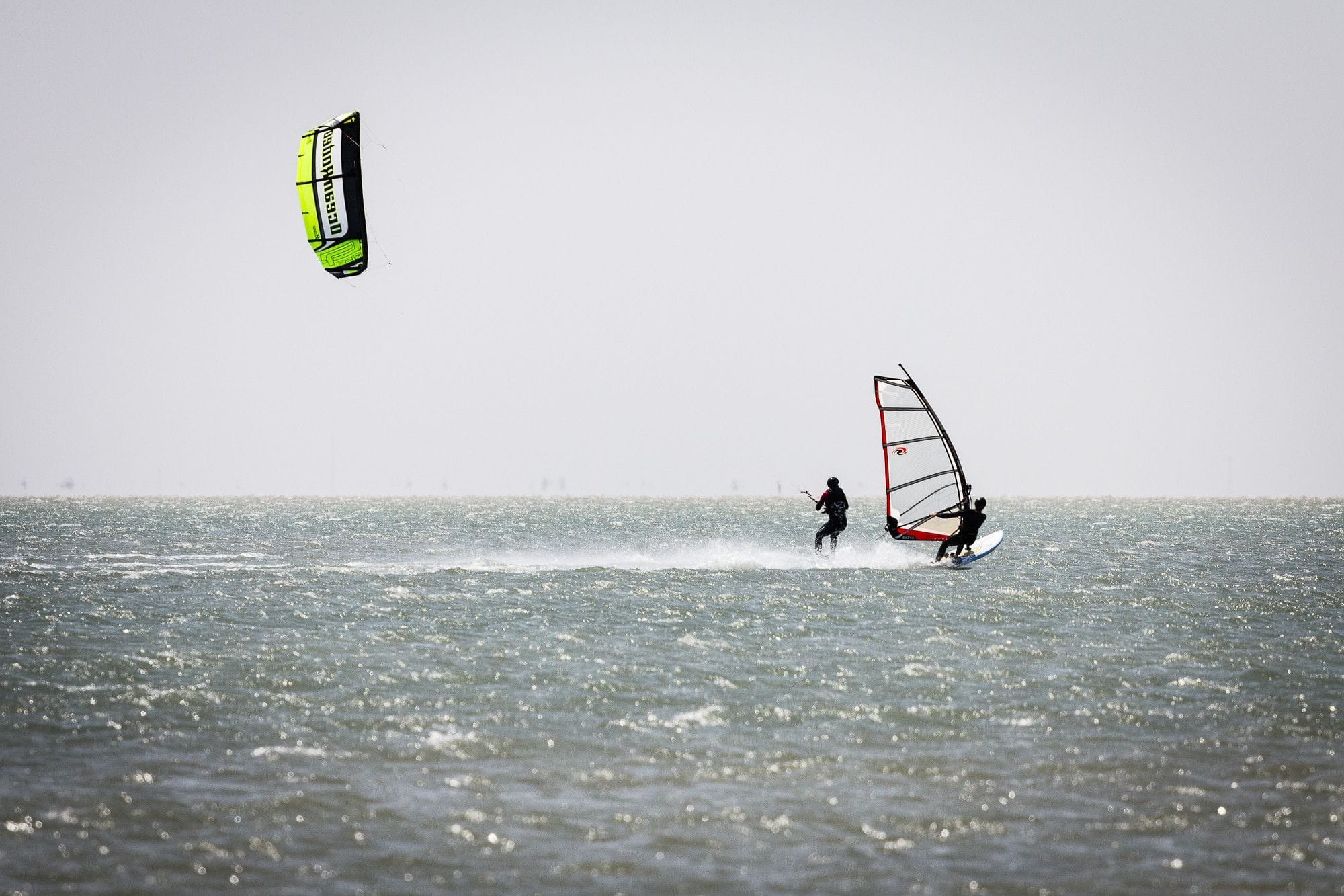
South Padre Island is a barrier island on the Texas coast, with the Gulf on one side and the Laguna Madre on the other. The Laguna Madre, the water between the island and the mainland, is flat and waist deep for miles. The Gulf side has waves at Isla Blanca Park by the jetty.
The wind blows here all year, and a station check has trimmed the record. WindChaser’s record is a 3 km model corrected by local hour against NOAA’s station at the Coast Guard base on the bay side of the island, 5 km from the spot. The check leaves too wide a margin in July, so that month shows no figure. Of the months it publishes, May is the pick, with about two thirds of days clearing 12 knots for three daylight hours, April just behind it and February, March and June over half; August and September are the quietest, at about a third of days. The mean over those rideable hours is 15 to 17 knots. It blows from the morning on and builds into the afternoon: in June the share of windy days is about one in four at 8am and one in two by 1pm. Spot guides describe steady spring and summer breezes and stronger wind with the winter fronts.
66% of days clear 12 kt for three daylight hours or more.
In May the wind most often sits at 8 to 11 kt (35% of daylight hours) and is over 12 kt from 10am to 3pm on at least half the days. See both charts in the full report
May on the record
The month's own figures, not the year's average.
Rideable days20 of 31Nine Mays in the record
Strongest measured gust54 ktMay 2022, South Padre Island Coast Guard station, 5.2 km away. Eighteen Mays measured, 2004 to 2026. Station, not the beach.
Wind, rideable hours15 ktMean over daylight hours at 12 kt+
Air26.4°CMaximum
Take it with you
The full South Padre Island report
Seven sections over six pages, built from the same record as this page. A PDF you can read on the plane.
01Hour-by-hour & month-by-month wind02The month's own records03Full stays, schools & kit04Per-launch notes05The jetty, the pass & the tide06Getting there, packing & best months07Sources, and their limits
WindChaser spot reportSouth Padre IslandTexas, United States · May66% of days clear 12 kt for three daylight hours or more.
When it gets busy
Crowds
Mar · Low
Kite Insider rates the crowds at South Flats low, with October to December and March its busier months. ProKite says the flats have lots of room and are rarely overcrowded, and the End of the Road launch is never crowded.
On the water
What May usually does
Wind directionS to SESouth and south-east in spring and summer, per spot guides. Winter fronts bring north winds.
Wind strength15 to 17 ktThe mean over rideable daylight hours in November, January, March and June, corrected against the Coast Guard station.
When it blowsAll dayThe share of windy days builds from 8am into the early afternoon.
Your playground
Launches & safety
Conditions change. Check local rules and conditions before you ride.
Launch
Hazard
Parking
School
Stay
Webcam
Approximate
We haven't found published rules for this spot.
Local intel
Getting there & on the ground
Nearest airportBrownsville (BRO)Brownsville South Padre Island International, close to the island.
On the groundMarch and JuneThe pick of the months the record publishes; November and January are close behind.
Getting aroundCarThe flats, the Jetty and the End of the Road are spread along the island.