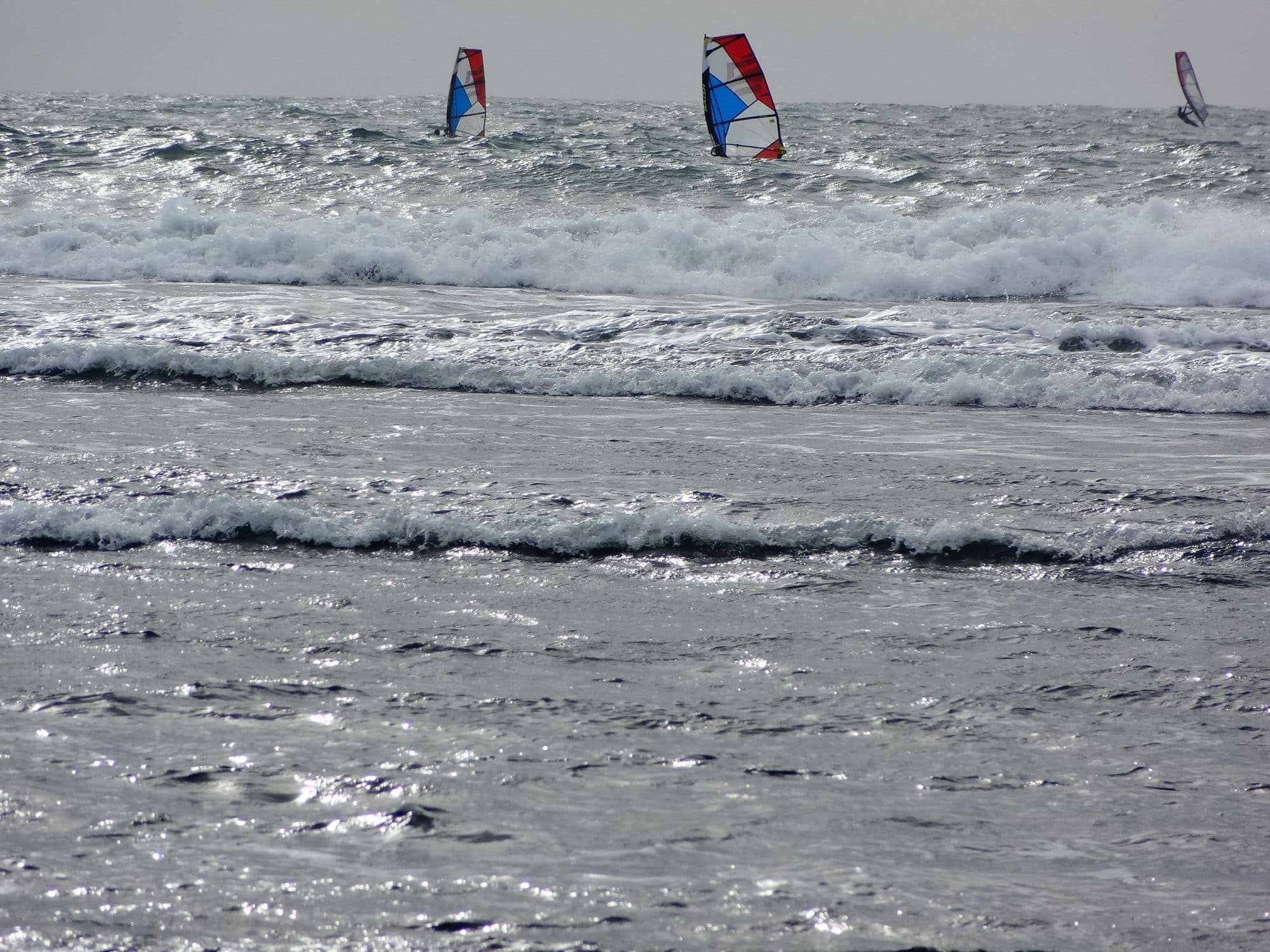
Matanzas is a village in the commune of Navidad, on the Pacific coast of the O’Higgins region, 165 km from Santiago along Route 78. Chile’s tourist board describes it as known for its wind and waves, drawing surfers, kitesurfers and windsurfers, with cliffs over the ocean. The wind comes from the south to south-west, the sea breeze that locals call the surazo.
October to April are the windy months in WindChaser’s record, and October is the pick, with seven days in ten clearing 12 knots for three daylight hours. The mean over those rideable hours runs from 15 to 17 knots. May to July drop below three days in ten. The mornings are quiet: in October the share of windy days climbs from one in twenty at 8am to more than three in five by 2pm, and it is still near its peak at 6pm. The record comes from a 9 km model with no station check yet, so treat it as a guide.
The water is cold: 12 to 14°C in winter and 17 to 18°C in summer, per a spot guide, with a 4/3 and boots as the minimum.
Not yet checked against a weather station or an independent model, so treat these figures as a guide.
At a glance
Is it for you?
Skill levelBring your A-game
WaterMixed bag
Wind · FebUsually turns up
Crowds · FebHeavy in season
Local vibeFriendly enough
Water qualityUsually clean
NightlifeA bar or two
CostMid
Geek analysis
February in the record
56% of days clear 12 kt for three daylight hours or more.
In February the wind most often sits at 4 to 7 kt (37% of daylight hours) and is over 12 kt from 4pm to 6pm on at least half the days. See both charts in the full report
No weather station near enough to check these figures against.
February on the record
The month's own figures, not the year's average.
Rideable days16 of 28Ten Februaries in the record
Wind, rideable hours16 ktMean over daylight hours at 12 kt+
Air23.1°CMaximum
Take it with you
The full Matanzas report
Seven sections over six pages, built from the same record as this page. A PDF you can read on the plane.
01Hour-by-hour & month-by-month wind02The month's own records03Full stays, schools & kit04Per-launch notes05Reef, rips & cold water06Getting there, packing & best months07Sources, and their limits
WindChaser spot reportMatanzasO'Higgins, Chile · February56% of days clear 12 kt for three daylight hours or more.
When it gets busy
Crowds
Dec · High
Kiteforum’s spot guide says the beach is full of people from December to March, so ask for help to launch and land. Kite Insider rates the crowds medium, busiest from November to February.
On the water
What February usually does
Wind directionS to SWThe surazo, the local name for the sea breeze. North-west is also described at Playa Matanzas.
Wind strength15 to 17 ktThe mean over rideable daylight hours, October to April, in the record. A 9 km model, no station check yet.
When it blowsAfternoonQuiet mornings. The share of windy days builds from midday and holds to 6pm.
Your playground
Launches & safety
Conditions change. Check local rules and conditions before you ride.
Launch
Hazard
Parking
School
Stay
Webcam
Approximate
Local intel
Getting there & on the ground
Nearest airportSantiago (SCL)165 km by Route 78, about 2 hours 30 minutes by car.
On the groundOctober to AprilThe windiest months in the record. October is the pick.
Getting aroundCar or busBuses Paravias runs from Santiago in about 3 hours, per a spot guide. A car carries the kit.
Stay, schools & kit
Who works this beach
SchoolBlue Point Activity CenterSchoolKite · SurfKitesurf, kite foil and surf lessons in Matanzas.