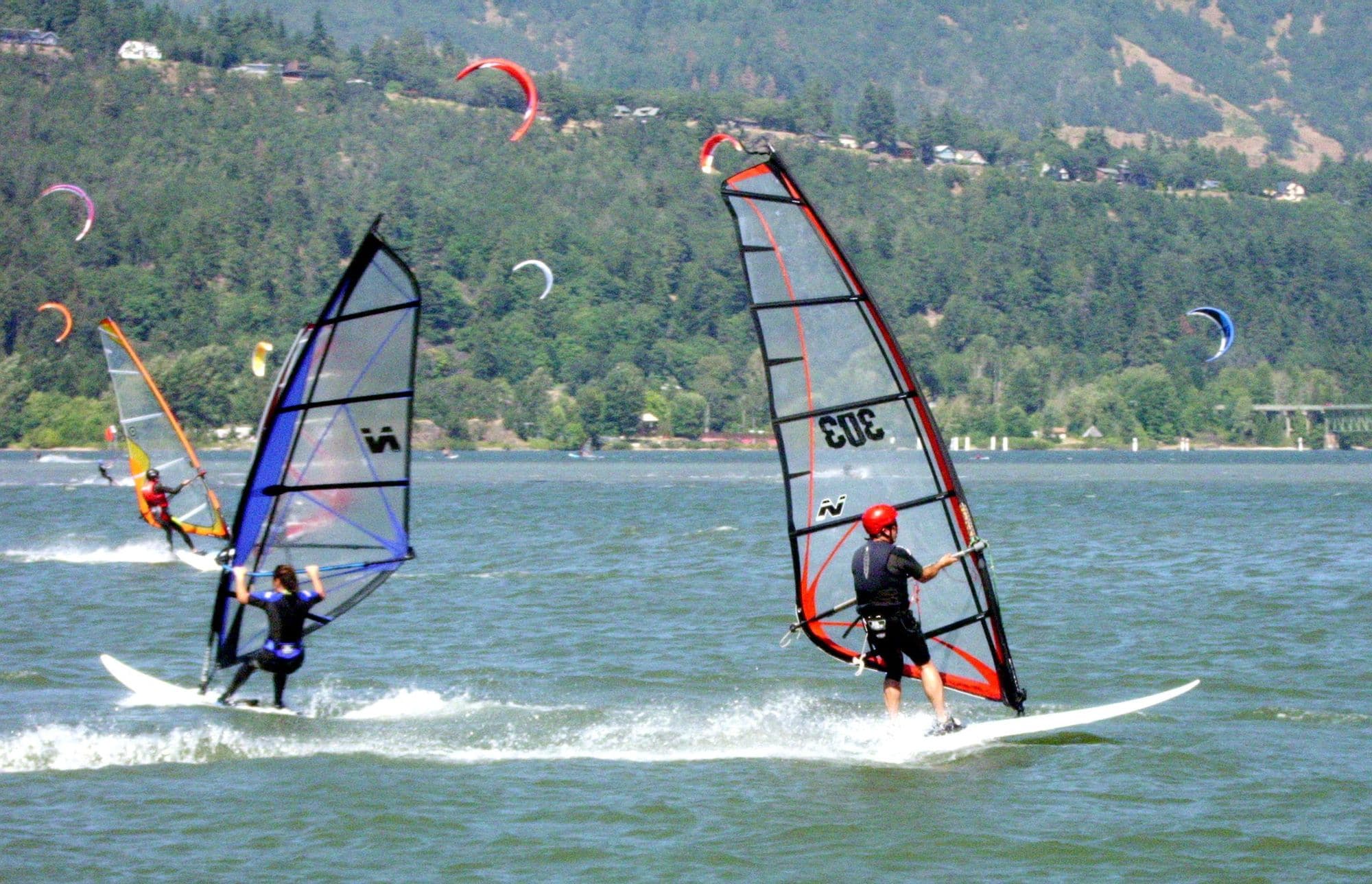
Hood River is a town on the Oregon bank of the Columbia River, about 60 miles east of Portland off Interstate 84. The riding is on the river itself, from the Port of Hood River waterfront: the Event Site, the Spit that riders call the Sandbar, and the Hook. The wind blows from the west, up the river, and spot guides describe it as onshore at the Hook and the Sandbar.
In WindChaser’s modelled record the windiest months are April to July, and May is the pick, but even in May fewer than one day in three clears 12 knots for three daylight hours. The mean over those rideable hours is 13 to 14 knots, and winter is close to still. The wind is an afternoon affair: in May the share of windy days climbs from about one in twenty at 8am to one in three by 3pm. The record is a 2.5 km weather model with three to four years a month and no station check yet, so treat these figures as a guide rather than a measurement.
ERA5 puts the share of rideable days 11.2 points lower here, and no weather station has settled it, so treat these figures as a guide.
At a glance
Is it for you?
Skill levelComfortable
WaterBit of chop
Wind · AprRoll of the dice
Crowds · AprBusy patches
Local vibeFriendly enough
Water qualityUsually clean
NightlifeA bar or two
CostMid
Geek analysis
April in the record
19% of days clear 12 kt for three daylight hours or more.
In April the wind most often sits under 4 kt (39% of daylight hours). No daylight hour is over 12 kt on at least half the days. The best hour is 4pm, on 17% of days. See both charts in the full report
No weather station near enough to check these figures against.
April on the record
The month's own figures, not the year's average.
Rideable days6 of 30Four Aprils in the record
DirectionW 272°
Wind, rideable hours13 ktMean over daylight hours at 12 kt+
Air16.6°CMaximum
Take it with you
The full Hood River report
Seven sections over six pages, built from the same record as this page. A PDF you can read on the plane.
01Hour-by-hour & month-by-month wind02The month's own records03Full stays, schools & kit04Per-launch notes05The current, barges & the Port rules06Getting there, packing & best months07Sources, and their limits
WindChaser spot reportHood RiverOregon, United States · April19% of days clear 12 kt for three daylight hours or more.
When it gets busy
Crowds
Jul · High
The Port of Hood River says the crowds return by late June, when kite launching moves from the Event Site to the Sandbar until October, for safety reasons. Kite Insider rates the crowds high, busiest from June to August.
On the water
What April usually does
Wind directionWWesterly, blowing up the river. Onshore at the Hook and the Sandbar, per spot guides.
Wind strength13 to 14 ktThe mean over rideable daylight hours, April to July, in the record. A 2.5 km model with no station check yet.
When it blowsAfternoonThe share of windy days climbs through the day to a peak around 3pm.
Your playground
Launches & safety
Conditions change. Check local rules and conditions before you ride.
Launch
Hazard
Parking
School
Stay
Webcam
Approximate
Local intel
Getting there & on the ground
Nearest airportPortland (PDX)Portland International, about 60 miles west by Interstate 84.
On the groundApril to JulyThe windiest months in the record. May is the pick.
Getting aroundCarInterstate 84 to Exit 63, then Portway Avenue to the waterfront. Waterfront parking is paid.