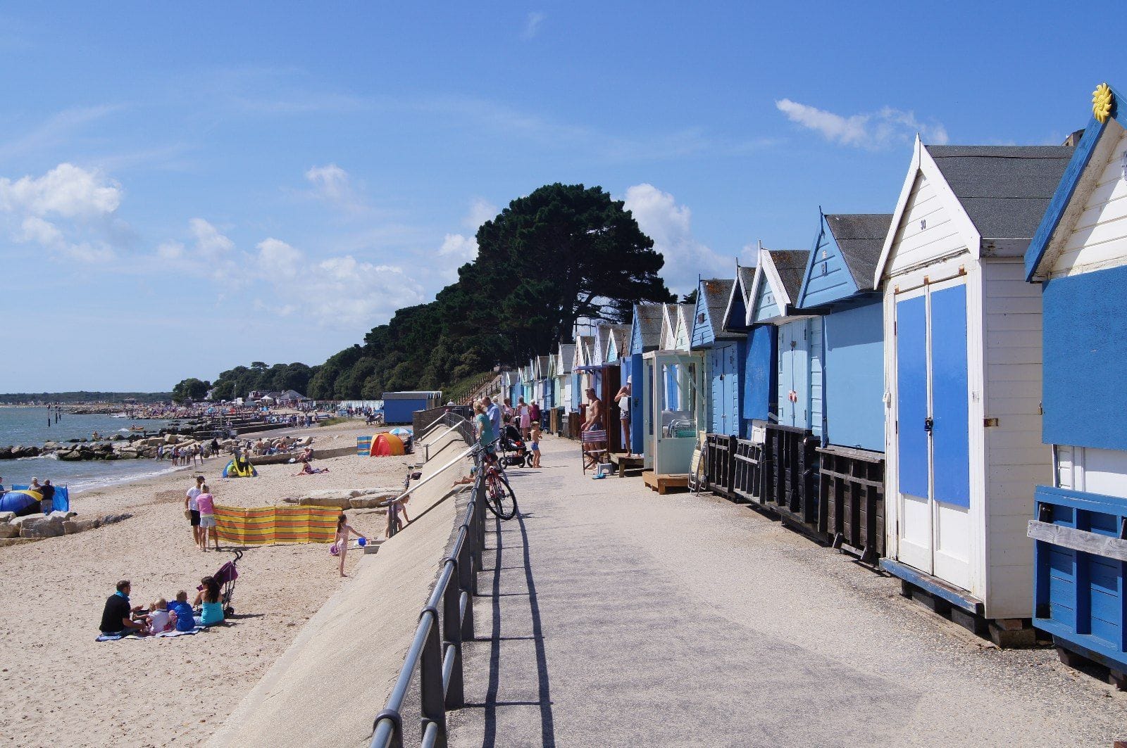
Steamer Point is the eastern end of Friars Cliff beach in Christchurch, on Christchurch Bay, with views across to the Isle of Wight. The beach is shingle and sand, and most of it is set aside for bathing: the council designates a water sports area in front of the concrete wave wall at the eastern end, beside the Steamer Point car park, where OpenStreetMap marks a windsurfing club building.
Further west along the bay, Avon Beach is sandy and has its own water sports area in front of its car park.
Across December to April the mean over the rideable hours runs from 15 to 18 knots.
ERA5 puts the share of rideable days 10.2 points higher here, and no weather station has settled it, so treat these figures as a guide.
At a glance
Is it for you?
Skill levelComfortable
WaterMixed bag
Wind · DecHit and miss
Crowds · DecBusy patches
Local vibeFriendly enough
Water qualityClean
NightlifeA bar or two
CostMid
Geek analysis
December in the record
52% of days clear 12 kt for three daylight hours or more.
In December the wind most often sits at 8 to 11 kt (27% of daylight hours). No daylight hour is over 12 kt on at least half the days. The best hour is 12pm, on 43% of days. See both charts in the full report
No weather station near enough to check these figures against.
December on the record
The month's own figures, not the year's average.
Rideable days16 of 31Three Decembers in the record
Wind, rideable hours17 ktMean over daylight hours at 12 kt+
Air9.1°CMaximum
Take it with you
The full Christchurch, Steamer Point report
Seven sections over six pages, built from the same record as this page. A PDF you can read on the plane.
01Hour-by-hour & month-by-month wind02The month's own records03Stays, schools & kit04Per-launch tide notes05Sandbanks, currents & bathing zones06Getting there, packing & best months07Sources, and their limits
WindChaser spot reportChristchurch, Steamer PointDorset, United Kingdom · December52% of days clear 12 kt for three daylight hours or more.
When it gets busy
Crowds
ShoreSports says the council car park at Mudeford Quay can be very busy in peak season and at weekends. Most of Friars Cliff beach is set aside for bathing, so riders keep to the water sports area at the eastern end. WindChaser has no crowd count for this beach yet.
On the water
What December usually does
Wind directionWSWBest in a west-south-westerly, slightly offshore, per Windsurf Magazine. South-west, south and east also work.
Wind strength15 to 18 ktThe mean over rideable daylight hours, December to April, in the record.
When it blowsMidday onThe share of windy days rises through the morning to a peak between noon and 4pm. In December and January it barely moves.
Your playground
Launches & safety
Conditions change. Check local rules and conditions before you ride.
Launch
Hazard
Parking
School
Stay
Webcam
Approximate
Local intel
Getting there & on the ground
Nearest airportBournemouth (BOH)About 15 km by road, around 22 minutes.
On the groundDecember to AprilThe best run in the record, though no month reaches one day in two.
Getting aroundCar, rail or busChristchurch station is about 3 miles away and morebus runs locally. Steamer Point car park has 160 spaces and a 2 m height limit.